Key Facts
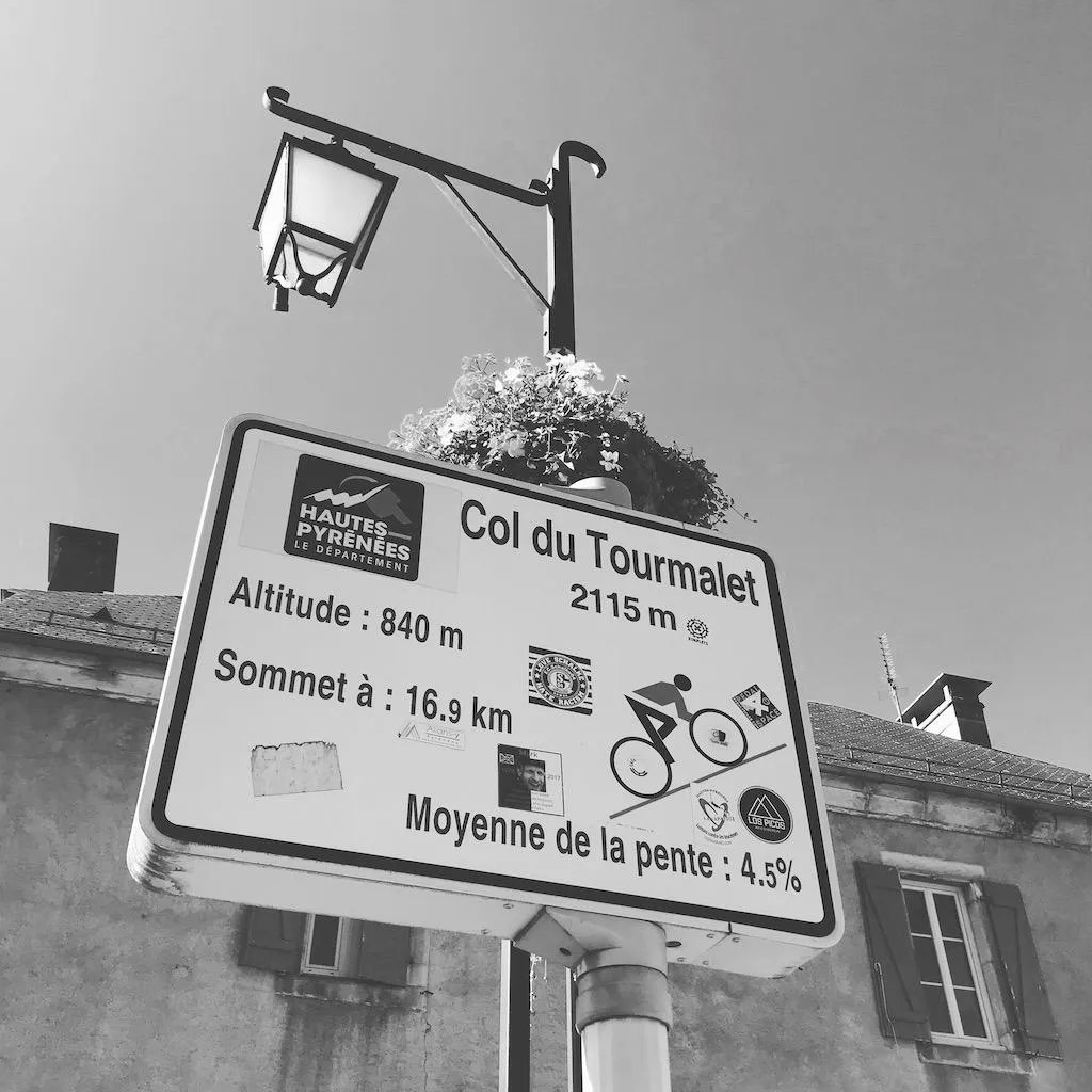
17.2km of climbing
1228m of elevation
15 switch backs
average 7.2 degree
Can decend ove Col
decent
A famous climb, long, tough, cool through the trees, exposed towards the sumit, amazing views, fast decent. Icon and on most cyclist bucketlist
Route Description
Start 700m St. marie Campan ( get a photo with the fmaous statue.
gentle for 5km,
rams yup throuygh the treese,
nie veiw of the camaon valley from the snow canopy over the raod
climbing now above the tree line
climb to 1808m and the ski station of la Mongie, water available in the public toilets by the or luncg in one of the restuarnabrts.
steep straught climb out of LaMongie.
steeper narrow switch backs upto the summit.
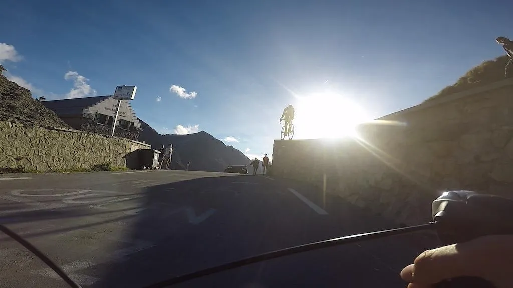
steep ramp upto the Top, with tourist centre, restant and giant.

Velo Viewer Profile & Strava Route
Suggested Itinerary - Tourmalet Loop
Depart Bagneres De Biggore
Pass Sainte-Marie de Campan and see the Statue of cyclist Eugene Christophe
Depart and climb to la Mongie and have lunch 12-2pm
Climb to summit the Col Du tourmalet
decent 50km all the way top Lourdes
loop around the hills of the baronies and return to Bagneres De Biggore
Top Tips
If you have lights to decend , summiting at sun set is awsome
Resuarabts are will only serve food 12-2pm
The small super market in St Marie is good for stocking up.

